Ben Macdui
Ben Macdui
Ben Macdui (1,309 m) is the second highest peak in the United Kingdom, at the heart of the Cairngorms. Arctic plateau, wild fauna and the legend of the Big Grey Man make it an iconic hike in the Scottish Highlands.
Ben Macdui is the second highest peak in the United Kingdom, towering at 1,309 metres within the Cairngorms massif in Scotland. Located at the heart of the Cairngorms National Park, it attracts experienced hikers and wilderness enthusiasts for its arctic plateaux, expansive views across the Highlands and the legend of the Big Grey Man, a mysterious figure of Scottish mountain folklore.
Quick facts
- Access: Standard starting point from Cairngorm Mountain car park (Coire Cas), accessible from Aviemore.
- Duration: Full day (6 to 9 hours depending on route and fitness level).
- Difficulty: Demanding hike, reserved for experienced mountain walkers.
- Kit: Mountain equipment essential — waterproof clothing, warm layers, compass and OS map, even in summer.
- Accessibility: Not accessible for those with reduced mobility.
- Entry: Free (open access to national park).
What to see
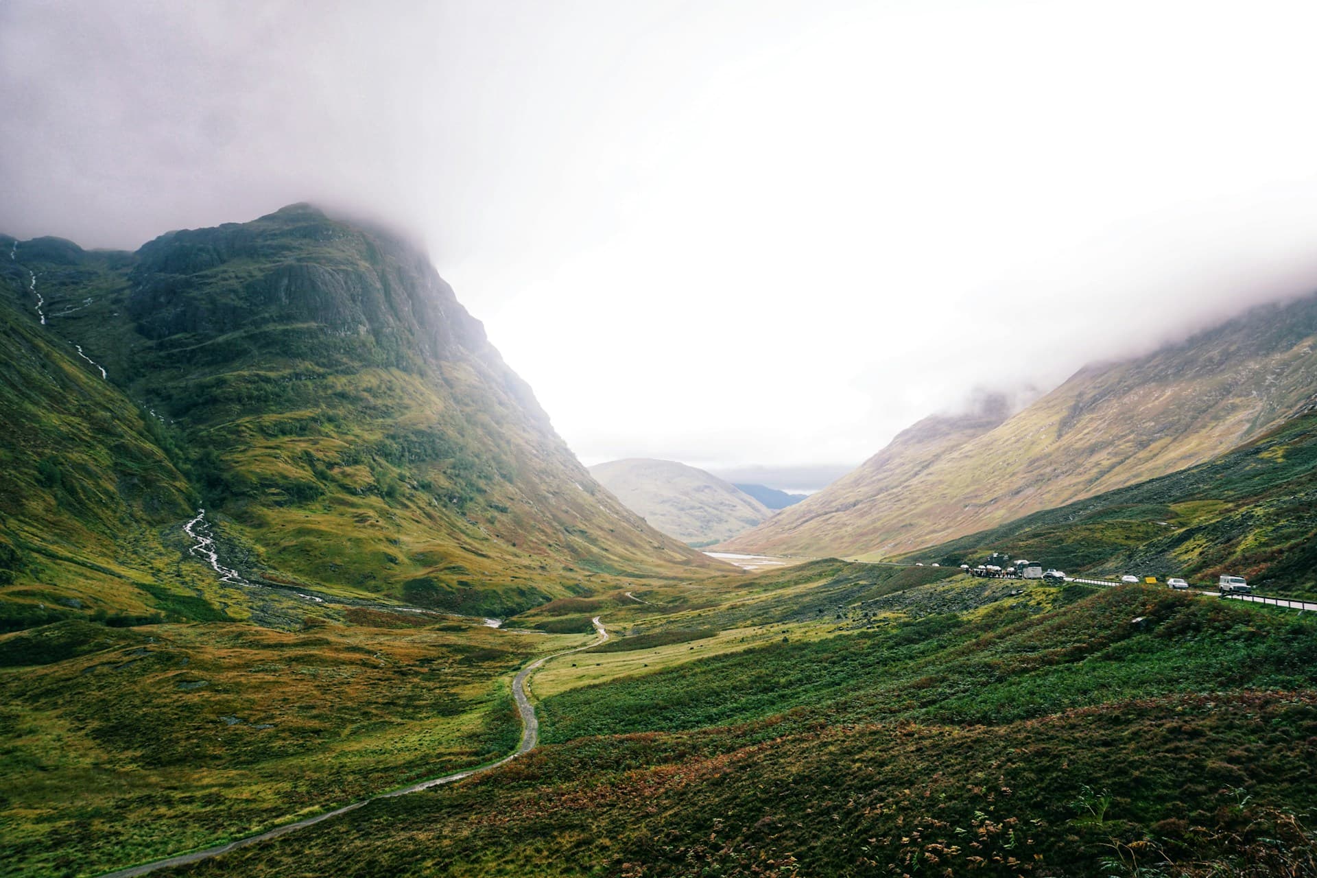
The summit offers an exposed plateau typical of the Cairngorms: alpine tundra, persistent snowfields in winter and spring, and panoramic views across surrounding massifs. On clear days, visibility extends to Ben Nevis to the northwest. Wildlife includes ptarmigan, mountain hares and, more rarely, golden eagles.
History and context
Ben Macdui belongs to the group of Munros — Scottish peaks exceeding 914 metres — and ranks among the most sought-after for peak baggers. Its reputation extends beyond geography: since the 19th century, mountaineers have reported the presence of a giant silhouette in the mist, the Fear Liath Mòr (Big Grey Man), which has entered Cairngorms folklore. The renowned alpinist Professor Norman Collie made the most famous account of it in 1925.
Highlights of the visit
The summit plateau
The summit cairn marks the highest point at 1,309 m. The plateau is vast and can become disorienting in poor visibility — compass navigation is an essential skill here.
The descent via Loch Avon
The route passing Loch Avon, nestled in a glacial cirque, ranks among the Cairngorms' most spectacular. The clear waters contrast dramatically with the steep rock walls that frame it.
Alpine wildlife
The ptarmigan, with white plumage in winter, is virtually iconic of the plateau. Mountain hares, equally white in cold season, are often spotted on the approach to the summit.
Photography tips
Golden light during summer mornings (early start from Aviemore) is ideal for photographing the plateau without mist. Loch Avon lends itself to reflections towards day's end. In winter, snowy conditions offer striking images, but safety always takes priority over photography.
Location and access
Ben Macdui sits within the Cairngorms National Park, approximately 15 km southeast of Aviemore. The most frequently used starting point is Coire Cas car park, at the foot of Cairngorm Mountain ski resort. Aviemore is reachable by train from Inverness and Edinburgh. No public transport serves Coire Cas car park directly; a car or taxi from Aviemore is necessary.
Nearby
- Cairn Gorm (1,245 m) — neighbouring peak accessible from the same car park, with a funicular up to 1,097 m.
- Loch Morlich — lowland loch surrounded by Caledonian pine forest, perfect for a walk after descent.
- Aviemore — main hub of the massif, with accommodation, restaurants and equipment hire.
- Rothiemurchus Forest — ancient Caledonian forest at the foot of the Cairngorms, rich in wildlife.
Frequently asked questions
June to September offer the most favourable conditions. In winter, the plateau is snow-covered and the risks of avalanche and whiteout are real — winter mountaineering experience is then essential.
No legal requirement, but the plateau can be hazardous in poor visibility. Hikers without experience in mountain navigation benefit from being accompanied by a certified local guide.
Yes, this is a classic itinerary for fit walkers. The loop connecting both peaks from Coire Cas is lengthy and demanding; allow a full day and set off early.
Yes, without restriction. The summit is freely accessible on public land (Scottish right of way).
Expect between 6 and 9 hours depending on your chosen route and pace. Distance and elevation gain vary by starting point.
Springs and streams exist on the plateau, but their potability is not guaranteed. Carry sufficient water from the valley.
Interested in this visit?
We can include it in your personalised itinerary.