Ben Lomond
Ben Lomond
Ben Lomond, Écosse's southernmost Munro (974 m), offers an accessible trail from Rowardennan and exceptional views over Loch Lomond and the Highlands.
Ben Lomond is the southernmost summit of the Scottish Highlands, rising to 974 metres above Loch Lomond. Classified as a Munro, it attracts both novice and experienced hikers thanks to a well-marked main trail from Rowardennan. On clear days, the panorama stretches across much of the Lowlands, the Highlands and, in exceptional conditions, as far as the Irish coast.
Practical Information at a Glance
- Access: departure from Rowardennan car park, on the shores of Loch Lomond, accessible by car or seasonal ferry from Inversnaid and Tarbet.
- Entry: free — the trail is open to all year-round.
- Recommended duration: allow 4 to 6 hours round trip depending on your pace and weather conditions.
- Attire: waterproof hiking boots essential; warm clothing and windproof jacket even in summer.
- Wheelchair accessibility: the trail is not suitable for people with reduced mobility.
- Dogs: permitted on lead, particularly during lambing season (spring).
What You'll See
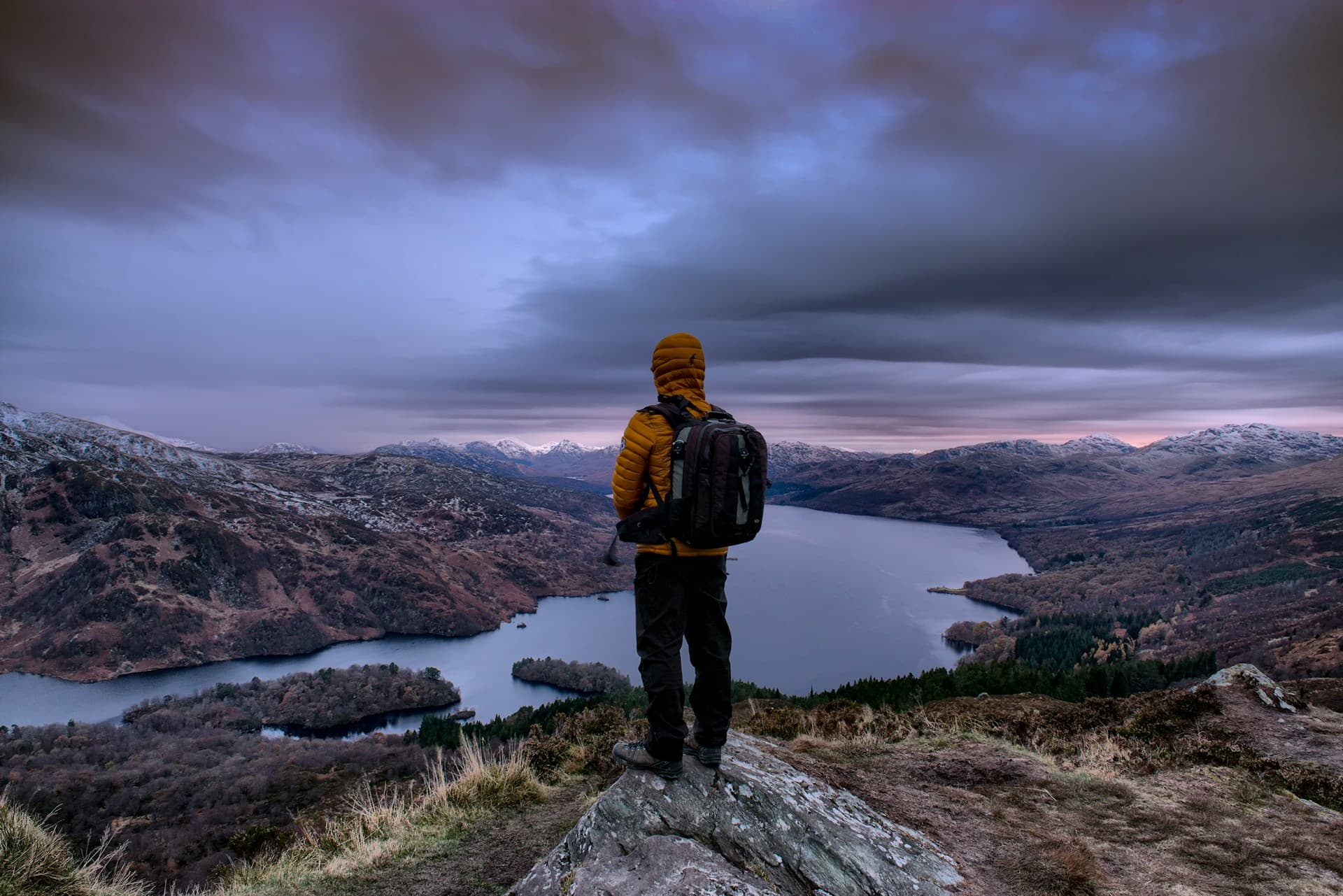
The main trail (the Rowardennan route) first passes through oak and birch woodland before opening onto exposed moorland covered with heather and purple moor-grass. The final ridge, narrow and rocky, offers sweeping views over Loch Lomond and its islands. On clear days, you can make out Stirling, the Campsie Fells and the summits of Breadalbane.
History and Context
Ben Lomond — "beacon mountain" in Scottish Gaelic — served as a visual landmark for the clans living on the loch's shores. The massif is part of Loch Lomond and the Trossachs National Park, created in 2002, Écosse's first national park. The mountain is managed by the National Trust for Scotland, which maintains trails and combats erosion caused by increasing visitor numbers.
Highlights of the Visit
The Summit Ridge
The final 200 metres of elevation gain is traversed along an exposed rocky ridge. The cairn at the summit marks the highest point; in strong winds, progress requires care. The reward: a 360° panorama over the Highlands and Lowlands.
Loch Lomond Seen from Above
From the ridge, the loch stretches out in its full length — 36 kilometres. Its wooded islands, including Inchcailloch and Inchmurrin, stand out clearly. The light of late afternoon gilds the water's surface.
Rowardennan Forest
The first section of the trail passes through ancient woodland designated as a Site of Special Scientific Interest. Royal ferns, mosses and sessile oaks create a dense atmosphere, particularly beautiful in spring and autumn.
Photography Tips
The golden light of early morning or late afternoon is ideal for photographing the loch from the ridge. In autumn, the russet tones of the moorland contrast beautifully with the blue water. Avoid summer middays: the light is harsh and mist frequent. There are no photography restrictions on the trail.
Location and Access
Ben Lomond sits approximately 30 kilometres north of Glasgow, within Loch Lomond and the Trossachs National Park. Rowardennan village, the usual starting point, is reached from Drymen via a narrow road running along the eastern shore of the loch. A seasonal ferry service connects Tarbet (west shore) to Rowardennan. From Glasgow, buses serve Balloch; a taxi or private shuttle is necessary to reach Rowardennan.
Nearby
- Loch Lomond — Écosse's largest lake by surface area, at your feet from the summit.
- Inchcailloch Island — wooded island on the loch with a nature reserve and the ruins of a medieval church.
- Drymen — departure village for hikers, with pubs and accommodation.
- The Trossachs — neighbouring glens and lochs, romantic heart of the Southern Highlands.
- Balloch — southern gateway to the national park, with loch cruises.
Frequently asked questions
From May to September, days are long and trails passable. In winter, snow and ice make the ascent technical; crampons and an ice axe may be necessary.
The Rowardennan route is considered one of the most accessible Munro ascents. It remains physically demanding: good fitness and appropriate equipment are essential.
Waterproof hiking boots, layered clothing, windproof and waterproof jacket are essential. Weather can change rapidly, even in summer.
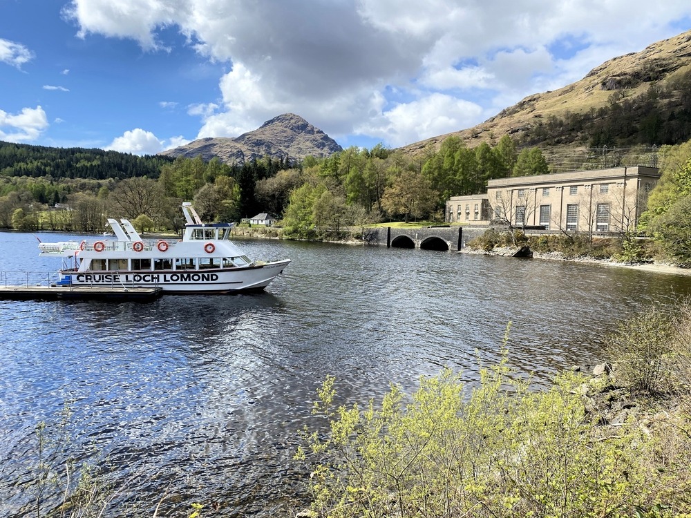
Yes. After descending, a loch cruise from Balloch or Tarbet rounds off the day nicely. Some operators offer combined hiking and boat shuttles.
Toilets are available at Rowardennan car park. There is no shelter on the trail itself; bring water and food for the entire hike.
Trail access is free. Rowardennan car park is paid; check current rates with the National Trust for Scotland before your visit.
Interested in this visit?
We can include it in your personalised itinerary.